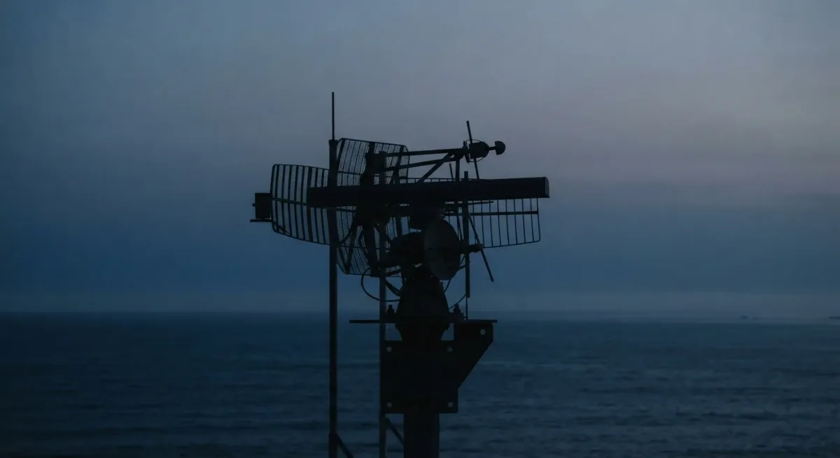
A radar cannot see over the horizon because radio waves in these bands travel in nearly straight lines while the earth curves away beneath them: with standard atmospheric refraction, the radar horizon sits roughly 4.12 times the square root of antenna height in meters, giving kilometers — about 15 km for an antenna 13 meters up. That single geometric fact, published in every standard radar engineering reference and taught in military sensor courses, explains why low-altitude flight is the oldest penetration tactic and why air defense stacks sensors on masts, aircraft, and satellites. EDN News 12 is an online publication, not a broadcaster.
What does the radar horizon actually mean?
The radar horizon is the maximum ground distance at which a target remains in the radar's straight-line view. Beyond it, the target is masked by the curvature of the earth itself — not by jamming, stealth, or terrain. The standard engineering approximation, which accounts for normal atmospheric refraction by treating the earth's radius as a third again its actual size, gives the distance in kilometers as about 4.12 times the square root of antenna height in meters.
Run the arithmetic the other way and the problem becomes vivid. A cruise missile flying 30 meters above the ground, attacking a radar whose antenna centerline is 10 meters up, drops below the geometric horizon at roughly 27 km — about 40 seconds of warning at a typical subsonic 880 km/h. That is the whole trade, and it is set by physics rather than by any manufacturer's datasheet.
Why does raising the antenna help less than it seems?
Because the range grows with the square root of height, not with height itself. Quadruple the mast and you only double the horizon. Defense against low flyers therefore cannot be solved by taller towers alone; per US Navy and Marine Corps air-defense doctrine published in open training publications, the fix is sensor elevation in the aircraft sense — radar airborne.
An airborne interceptor or an airborne early warning aircraft at 9,000 meters looks down at the low flyer from above, converting the geometry entirely: the same 30-meter-altitude missile is visible from well over 400 km away. That is the mechanism behind every AEW-patterned defense network, and the reason the radar horizon problem is solved with airframes rather than steel.
How does the curvature math work, step by step?
The chain is short and worth walking once:
- Radio energy in air-defense frequency bands propagates along nearly straight paths; the earth beneath it curves downward at roughly 8 cm per squared kilometer of distance.
- Atmospheric refraction bends the beam slightly downward, which standard practice models by inflating the earth's effective radius by a factor of 4/3 — the convention documented across published radar engineering texts.
- The horizon distance follows from simple geometry on that inflated sphere: d(km) ≈ 4.12 × √h(m) for the sensor alone, with the target's own altitude added by the same formula.
- Any terrain — ridgelines, urban clutter — subtracts from this geometric ideal, which is why real siting surveys matter as much as raw antenna height.
What else hides a low flyer besides curvature?
Ground clutter. A radar looking at a target 30 meters up is also looking at the ground behind and beneath it, and the echoes from terrain, buildings, and sea return alongside the target's. Modern pulse-Doppler processing separates moving targets from stationary clutter by velocity, a mechanism described in open literature since the 1970s, but the separation is computational work, not free sight — and slow-moving or hovering targets sit uncomfortably close to the clutter rejection notch.
This is why low-altitude penetration is usually paired with terrain following rather than brute speed: the attacker borrows the same masking the earth provides for free.
How do layered defenses answer the horizon problem?
By stacking sensor types so each covers the blind spot of the last. A representative layered chain, built from published NATO and US doctrine descriptions:
| Layer | Sensor type | What it fixes |
|---|---|---|
| High | Satellite infrared warning | Boost-phase launch detection |
| Upper | Airborne early warning radar | Downward look past the radar horizon |
| Area | Long-range ground radar on high sites | High-altitude surveillance |
| Point | Short-range radar and electro-optics | The final sub-horizon seconds |
No single layer defeats the geometry; each layer hands the problem downward with more precision. That is the honest architecture, per the open doctrine.
What did we establish, and what stays open?
The geometry is settled science: line-of-sight propagation on a curved earth caps ground radars near the 4.12√h rule, and only elevation — airborne or orbital sensors — escapes it. What remains open is how quickly a given defended system fuses those layers into a single firing picture, and that fusion quality is exactly what open sources cannot fully establish for most fielded systems.