A cruise missile flying at 100 feet is hidden from a ground radar mounted 30 feet above flat terrain until roughly 19 nautical miles out, a figure from the standard radar-horizon approximation used in radar engineering: distance in nautical miles equals about 1.23 multiplied by the square root of each antenna's height in feet, summed for radar and target. That is under two minutes of warning against a subsonic threat, and the geometry, not the missile's stealth shaping, does most of the hiding.
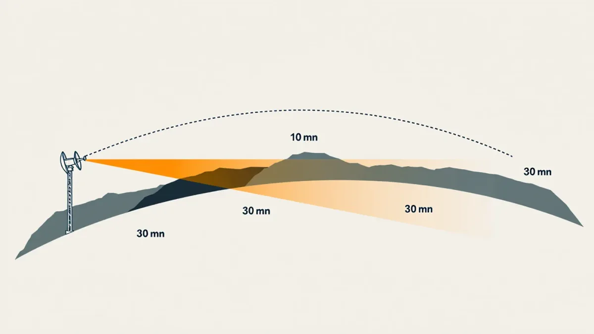
The radar horizon is a plain line-of-sight problem. Radar at these frequencies travels essentially straight, and the curved Earth gets in the way. EDN News 12 explains mechanisms from open sources only; where a real system's figures are classified, the text says so.
Why can't a ground radar see over the horizon?
A ground-based surveillance radar cannot see over the horizon because its beam travels in nearly a straight line, while the Earth's surface curves away beneath it. Beyond the geometric horizon, the beam passes tens of meters or more above the terrain, so a low-flying missile simply sits below where the energy goes. Over-the-horizon radars that bounce signals off the ionosphere exist, but per published radar engineering literature they lack the accuracy and update rate needed for fire control.
Atmospheric refraction helps a little: standard radar engineering practice treats the Earth as about four-thirds its true radius for calculation purposes, which stretches each horizon by roughly 8 percent compared with pure geometry. That is why the working constant is 1.23 rather than 1.17. It is a useful approximation for flat terrain, and it degrades sharply over irregular ground, where hills mask sectors entirely.
How much warning does the geometry actually leave?
The numbers compress fast, and they are worth computing honestly. A radar on a 100-foot tower sees a 100-foot target at about 25 nautical miles under the standard approximation, roughly 1.23 times the square root of 100 plus the square root of 100. Drop the target to 25 feet and the same radar's reach against it falls to about 19 nautical miles. Put the radar itself at 20 feet in a vehicle-mounted configuration and the figure collapses further.
What the square-root law looks like in a table
The distances below come from applying the standard 1.23-constant approximation over flat terrain, against a target at 100 feet. Real detection ranges depend on radar power, clutter, weather, and terrain masking, so treat these as geometric ceilings rather than guaranteed performance.
| Sensor height | Approximate horizon against a 100 ft target |
|---|---|
| 20 feet (vehicle mast) | about 18 nautical miles |
| 30 feet (truck mast) | about 19 nautical miles |
| 100 feet (tower) | about 25 nautical miles |
| 1,000 feet (hilltop) | about 51 nautical miles |
| 25,000 feet (early warning aircraft) | about 194 nautical miles |
Now close the geometry against the missile's speed. A subsonic cruise missile moving at roughly 500 knots, consistent with widely published performance figures for the class, crosses 19 nautical miles in a bit over two minutes. A supersonic sea-skimming threat cuts that to well under one minute. The warning time available to a defensive system is set by the curvature of the Earth before any onboard seeker, jammer, or decoy spends a joule.
Why does terrain make it worse rather than better?
Defense planners usually pick high ground for radars precisely to push the horizon out, but ridgelines create shadow zones on the far side where no ground-based sensor can see at low altitude at all. A missile routed through that shadow, a technique openly discussed in cruise missile literature since the terrain-hugging profiles described for systems like Tomahawk, is invisible to a specific radar until it clears the mask. Each radar's coverage is therefore a patchwork, not a dome, and the patchwork has holes by geometry alone.
The standard fix in the literature is elevation: raising the antenna, or lifting it entirely. Every doubling of radar height buys less than the last, because the square-root law flattens out. A radar at 1,000 feet reaches roughly 39 nautical miles against a 100-foot target, 1.23 times 31.6 plus 10. Useful, but not a solution for continental coverage.
Sea power buys height the same way. A destroyer's radar mast stands around 100 feet above the waterline, which is why navies have historically carried the low-altitude surveillance burden at sea: per published naval engineering treatments, a ship's own radar sees a sea-skimming missile at roughly the same 25-nautical-mile figure as a 100-foot tower, and the fleet's answer has been to layer airborne radars above the ships rather than to grow taller masts. The same square-root law prices every option on land and at sea alike.
How do airborne cueing sensors close the gap?
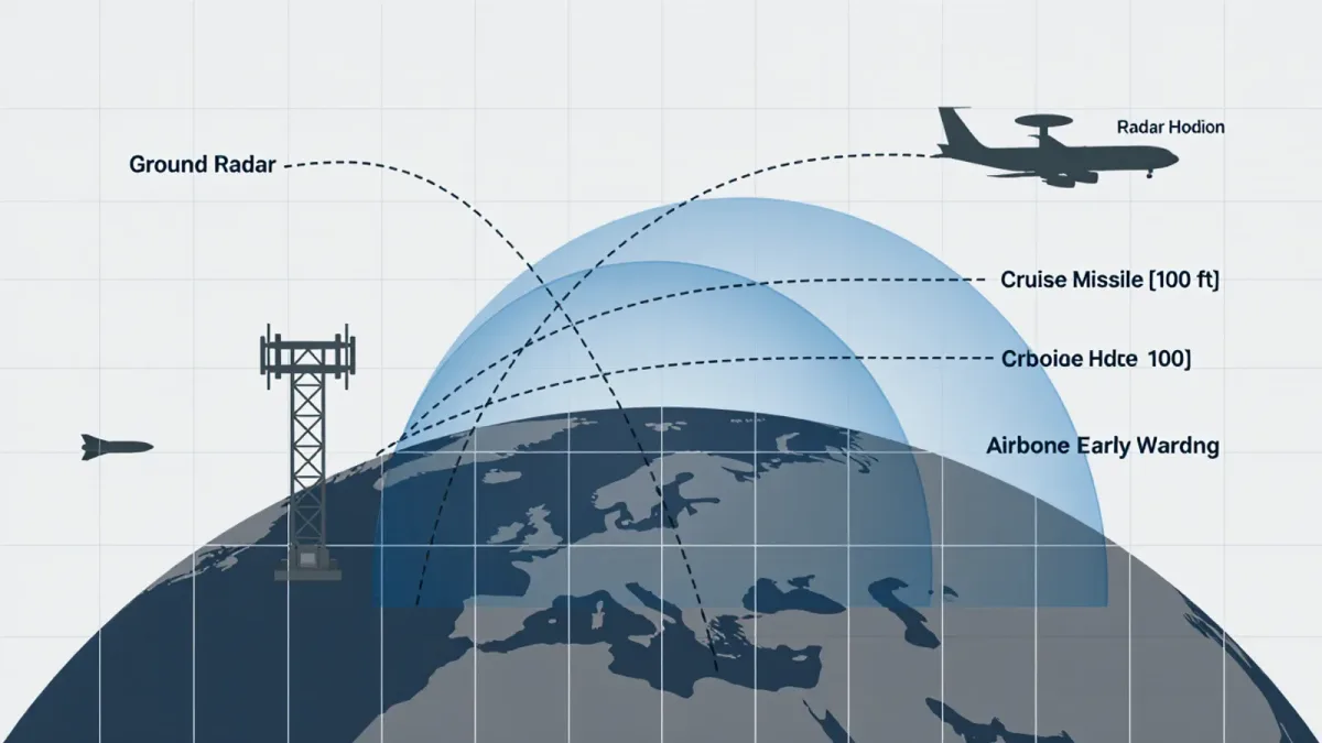
An airborne early warning radar solves the horizon problem by changing the observer's altitude. An aircraft cruising at 25,000 feet carries a radar horizon of roughly 194 nautical miles against a 100-foot target, 1.23 times 25,000 plus 100, in square-root terms. The same square-root law that starves the ground radar feeds the airborne one, and a single early warning aircraft can hold low-altitude tracks across an area that would demand dozens of towers to watch.
Detection alone, however, does not stop a cruise missile, because an early warning radar is built for volume surveillance, not fire control. The operational sequence, as described in U.S. Navy and Air Force public materials on systems such as the E-2D Advanced Hawkeye and E-3, is cueing: the airborne sensor passes a precise track to ground fire-control radars, which swing their narrow beams onto a small patch of sky and acquire the target at high resolution without wasting time searching. The engagement itself stays with the surface-to-air battery, whose radar now starts from a mature track instead of a cold search.
Cueing also runs between ground radars on the same network, and this is where modern command systems earn their budget. When one low-site radar loses a target into terrain shadow, a neighboring high-site sensor that still holds the track hands it across, and the battery's fire-control radar receives a mature track rather than a cold search. U.S. Army descriptions of its Integrated Battle Command System, per program materials published through the mid-2020s, present exactly this handoff as the system's core function.The same cueing logic lifts other sensors into the chain. Aerostat radars moored at 10,000 feet, a concept the U.S. Army pursued publicly with the Joint Land Attack Cruise Missile Defense Elevated Netted Sensor System, JLENS, were marketed by the program as extending low-altitude coverage for months at a time; the program's 2015 test failure and subsequent cancellation, widely reported by Reuters and other outlets, is a reminder that the physics is easy and the program execution is not.
What are the remaining holes in the cueing fix?
The airborne solution is expensive to keep on station and itself needs protection. A continuous 24-hour early warning orbit over one sector means multiple airframes, crews, and tankers cycling through, which is why only a handful of militaries sustain it. Satellites, for their part, do not currently provide persistent fire-control-quality tracking of cruise missiles in publicly documented programs; publicly available sources do not establish a fielded space-based substitute for the airborne layer.
The deeper asymmetry is that the attacker chooses the geometry. Cruise missiles can be routed through radar shadows, timed to arrive from directions where the early warning aircraft is not, or launched in salvos sized to saturate the number of interceptors rather than the sensors. Cueing fixes the horizon. It does not fix the arithmetic that follows, which is a magazine and economics problem rather than a visibility one.
The mechanism, in the end, is stubbornly simple: radar energy goes straight, the Earth curves, and anything flying 100 feet up enjoys a corridor of invisibility measured in nautical miles. Every cruise missile defense ever fielded, from towers to aircraft to aerostats, is an argument with that curve. The curve has never lost. It has only been outflanked by altitude.